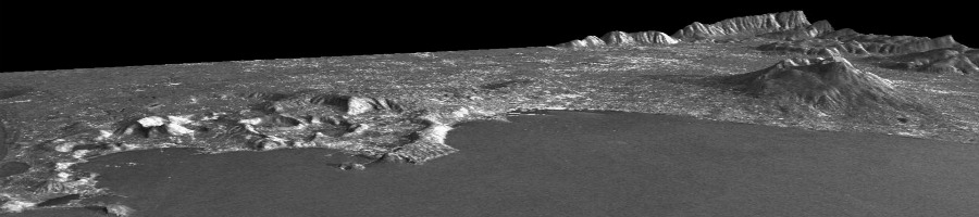

 An earthquake of magnitude 8.3 struck the central region of Chile, 46 km west of the city of Illapel, at 22:54:33 (UTC) on September 16, 2015. The area is considered one of the regions at highest seismic risk in the world. The seismic activity in the region is caused by the convergence of the Nazca and South America plates with a relative movement between the two plates of about 74 mm / year (source: USGS).
The earthquake is the result of a movement along a reverse fault dipping eastward, having a length of approximately 250 km and a width of about 100 km.
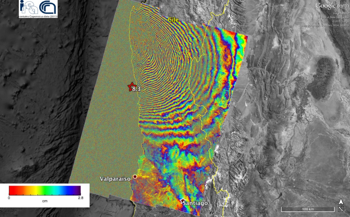
Via differential radar interferometry, researchers at the Institute for Electromagnetic Sensing of the Environment have studied the field of surface deformation caused by the quake. In particular, they used the data acquired on July 31 and September 17, 2015 (immediately after the event) by the European satellite Sentinel-1A, that have made it possible to generate the displacement map (interferogram) shown in the figure. Each color band (fringe) indicates a ground shift of approximately 2.8 centimeters, with a maximum deformation of about 140 centimeters.
The activity has been conducted as part of the agreement between IREA-CNR and the Italian Department of Civil Protection (DCP), the TEP-QuickWin project of the European Space Agency (ESA) and the project "High Technological Infrastructure for Integrated Monitoring of Climate and Environment" (I-AMICA) funded by the Italian Ministry of Education, University and Research as part of the National Operational Programme (PON). The presented results contain Copernicus data 2015.