
Development and integration of innovative techniques for Earth Observation for the monitoring of hydrogeological instability in a test basin of the Val d'Agri
Client: Eni - Exploration & Production Division
Type: National Project
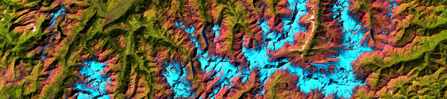
The project has the strategic objective to make available to the potential offered by the integration of ENI techniques of differential SAR interferometry (DInSAR) by satellite, technical and electromagnetic tomography 2D and 3D geological and geomorphological based on the analysis of multi-temporal areas of photos and high resolution satellite imagery in the study of geologically complex areas affected by hydrogeological instability, which IMAA, IREA and IRPI have developed and are developing in the field of international projects. These methods are applied to areas of interest to ENI. The test area will be located in the Val d'Agri basin, including in the mining concession the ENI, which is a "natural laboratory" in which to experiment the integration of innovative techniques for the monitoring of hydrogeological instability, triggered and by extreme weather events and induced by seismic events.
IREA Scientific Officer:
Francesco Casu
Period: 24 months (April 2011 - March 2013)
IREA Scientific Officer:
Francesco Casu
Period: 24 months (April 2011 - March 2013)
