
Thematic mapping, generally understood as the extraction of value-added information from raw or pre-processed data, is one of the most common and relevant application fields in remote sensing. It can be divided into sub-categories, such as pattern recognition, feature extraction, and thematic classification. Thematic and land cover maps derived from remotely sensed imagery can support land and environment monitoring, as well as management and planning activities.
Proper response actions to environmental and climate emergencies - floods and landslides, earthquakes and fires, food and water security - are based on updated spatial-temporal thematic knowledge, especially if accessible in a digital cartographic format. This knowledge is useful to the deployment of preliminary actions, the quantification of damage extension and the planning of recovery and prevention measures. The availability of thematic maps is relevant not only in disaster management, but is also a crucial information source for land and environmental management: for example in forestry, mapping is important for both global monitoring of fires and their implications on climate and environment. In some policy sectors, such as agriculture in the European Union, thematic maps derived from satellite imagery are used to rule the distribution of support funding and for the confirmation of beneficiaries' declarations, with a significant economic impact (Common Agricultural Policy counts for 45 up to 50 % of the EU annual budget).
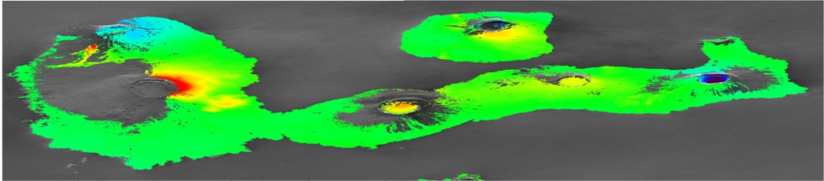
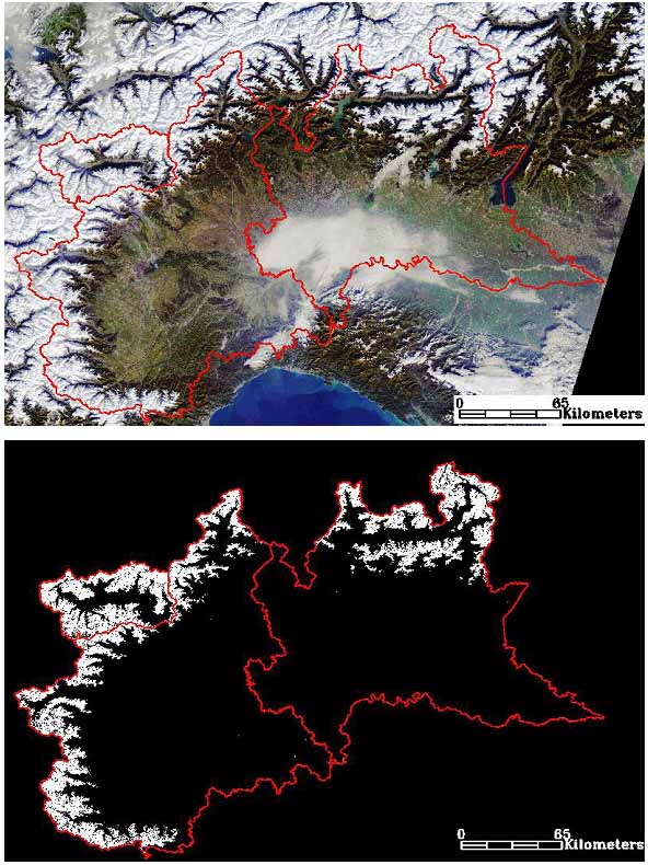
Further examples of the relevance of remote thematic mapping in other application fields, include: urban and land planning, recognition of dangerous materials as asbestos or oil spills, soil sealing, water availability as connected to ice and snow melt, and complex ecosystems monitoring. Starting from 1972 - the year NASA launched the first Earth Observation satellite (ERTS/Landsat 1) - to the next generations of satellites and satellite constellations, specifically designed to provide continuous data for a global monitoring at a daily or weekly cycle (i.e. the Sentinel satellite series managed by ESA under the umbrella of the Copernicus-GMES programme, and NASA Landsat 8), remotely sensed data and imagery have grown a lot and will continue to grow and diversify in the future, from the spectral and spatial resolution point of view, thus requiring the development of novel analysis and information extraction methodologies for the provision of more refined and accurate value-added information.
