Maria Consiglia Rasulo
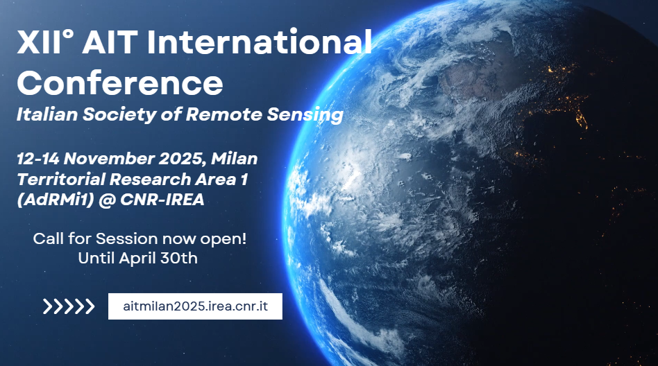
We are pleased to announce the XII AIT International Conference, taking place in Milan from November 12 to 14, 2025, at the CNR Research Area 1 Conference Center, in the heart of Città Studi. The event is hosted by the Institute for Electromagnetic Sensing of the Environment of the Italian National Research Council (IREA-CNR) and will bring together experts, researchers, professionals, and students in the field of remote sensing.
The conference will feature a comprehensive program with plenary and parallel sessions, poster presentations, and networking events, providing a unique opportunity to explore the latest advancements and applications in remote sensing at both national and international levels. Key topics will include real-time environmental monitoring, climate change analysis, human impact assessment, and the use of advanced satellite and sensor technologies for risk management and environmental protection.
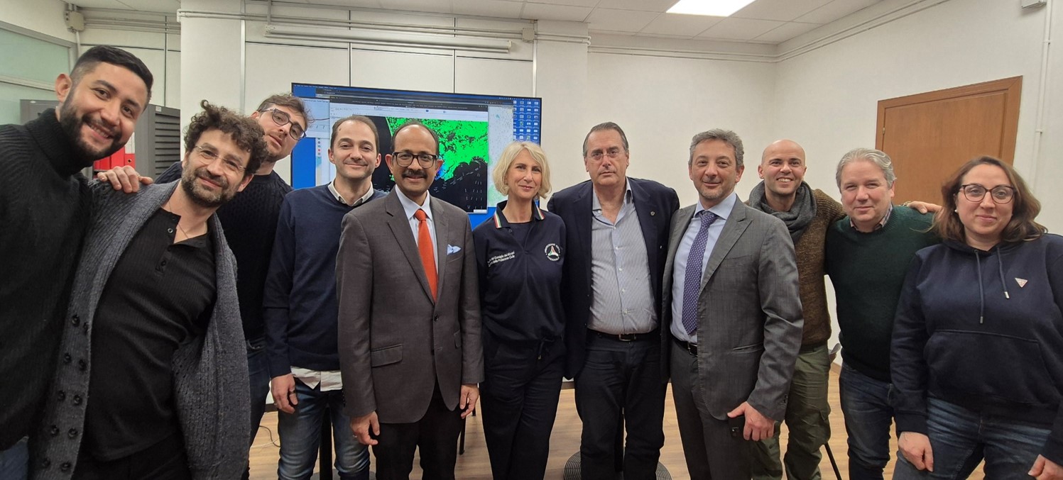
The Special Representative of the United Nations Secretary-General for Disaster Risk Reduction (UNDRR), Dr. Kamal Kishore, visited CNR-IREA on January 22, accompanied by Eng. Luca Rossi from UNDRR and Dr. Chiara Cardaci representing the Civil Protection Department (DPC).
The purpose of the visit was to show the contribution that CNR-IREA, as a Competence Center supporting the DPC, provides to the National Civil Protection Service in the fields of seismic and volcanic monitoring. This contribution relies on satellite radar interferometry techniques, with particular focus on the comprehensive monitoring activities of a complex area such as the Phlegraean Fields.
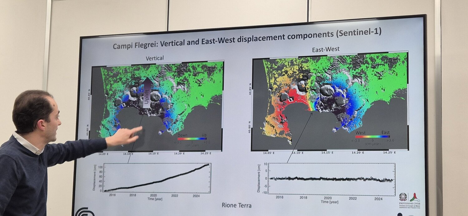 During the meeting, Dr. Kishore and Eng. Rossi were briefly introduced to the principles of Differential SAR Interferometry and the P-SBAS technique, developed by IREA researchers, which enables time-series monitoring of ground deformations. The team also presented the automated service for generating ground displacement maps, implemented by IREA, which is provided to the Civil Protection Department following significant seismic events in Italy. This service has been extended to analyze earthquakes on a global scale, with results made freely accessible online via the European research infrastructure EPOS. Furthermore, IREA's support for the DPC in monitoring major active Italian volcanoes, particularly the Phlegraean Fields, was extensively presented.
Concerning the ongoing bradyseismic crisis, IREA demonstrated how it regularly provides the DPC and the National Commission for the Forecasting and Prevention of Major Risks with maps and time series of ground and built environment displacements in the area. This information, combined with observations provided by INGV and other Competence Centers, enables continuous and large-scale monitoring over time.
Dr. Kishore and Eng. Rossi expressed great interest in the activities presented, asking numerous questions and fostering a highly productive discussion with contributions from Dr. Cardaci.
This visit underscores the importance of international cooperation in disaster risk management and highlights the value of advanced scientific research as a vital tool for protecting vulnerable communities and building a safer future for all.
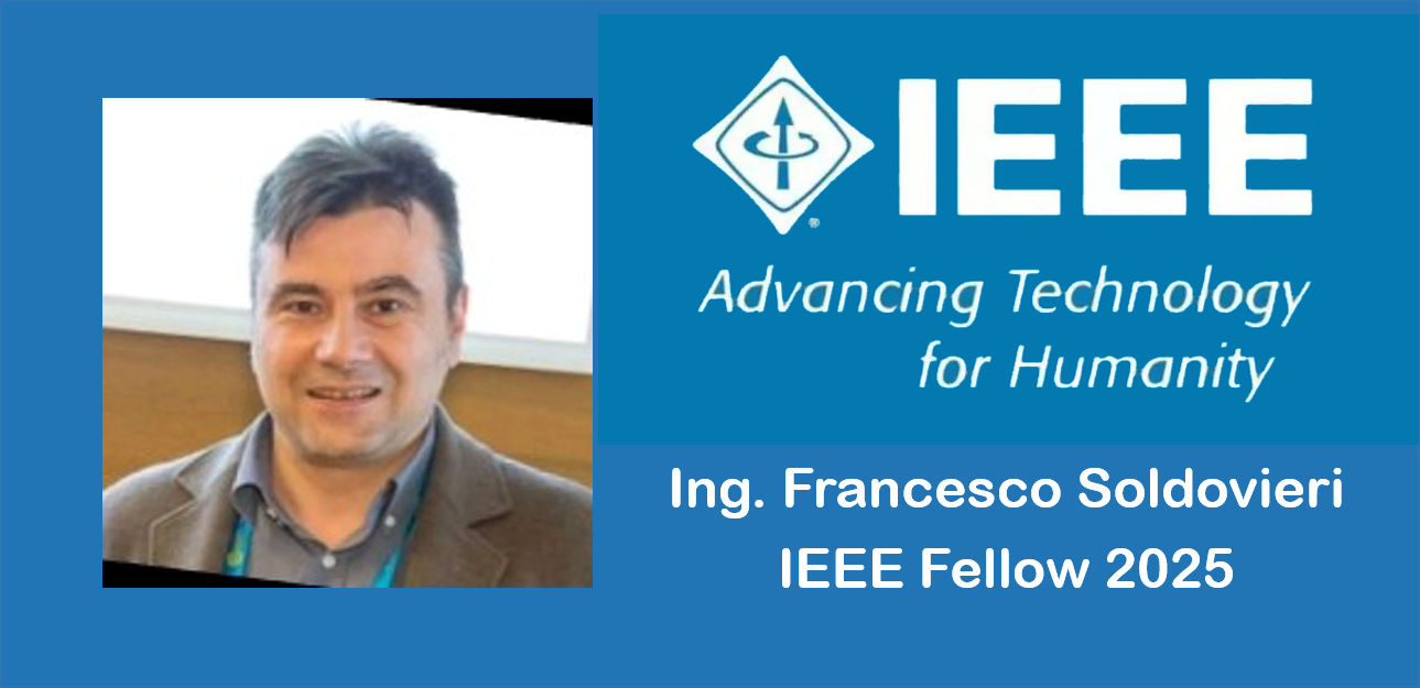
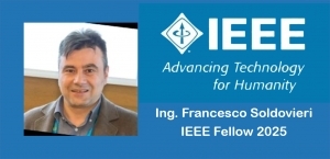
Francesco Soldovieri, Director of the Institute for Electromagnetic Sensing of the Environment of the National Research Council of Italy, has been elevated to Fellow of the Institute of Electrical and Electronics Engineers (IEEE) for "his contributions to the theoretical analysis of inverse problems, to microwave tomography and their applications".
IEEE is an American professional association representing electrical and electronics engineers and other related professionals. Founded in 1963, the IEEE is headquartered in New York (USA) and its primary purpose is to promote innovation and technological excellence for the benefit of humanity.
Since 1964, through the IEEE Fellow program, the IEEE recognizes individuals who have made significant contributions to the advancement of engineering, science, technology and society in general.
IEEE Fellow is an award reserved for IEEE members who have distinguished themselves in any of the fields of interest of the IEEE and who are deemed suitable for this prestigious elevation to rank. Each year, following a rigorous evaluation process, the IEEE Fellow Elevation Committee recommends a select group of recipients. Only 0.1% of voting members are selected each year for this important honor.
Link: IEEE Fellow Class 2025
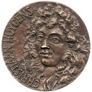
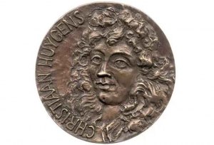
Francesco Soldovieri, Director of the Institute for Electromagnetic Sensing of the Environment of the National Research Council of Italy, has been announced as the recipient of the 2025 Christiaan Huygens Medal, one of the awards that the European Geosciences Union (EGU) recognises each year to eminent scientists for their outstanding research contribution to the Earth, planetary and space sciences.
In particular, the Christiaan Huygens Medal has been established to honour scientists who have achieved exceptional international standing in Geosciences Instrumentation and Data Systems in the spirit of Christiaan Huygens.
The medal will be presented during the General Assembly of the Union in Vienna, Austria, & Online from 27 April – 2 May 2025.
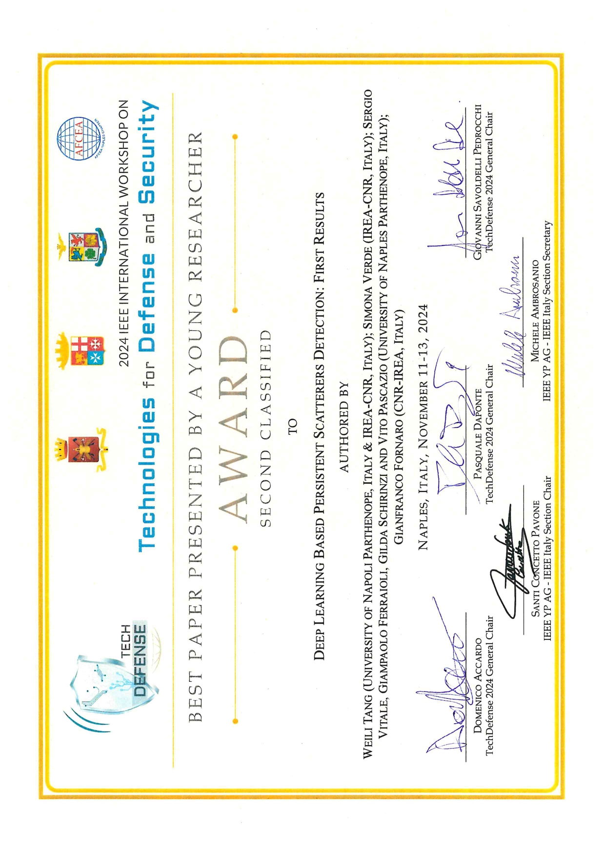
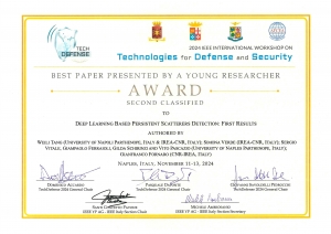
As part of the IEEE International Workshop on Technologies for Defense and Security (TechDefense 2024), held in Naples from November 11 to 13, 2024, Weili Tang, a PhD student at the University of Naples “Parthenope” with a scholarship funded by IREA, received the second place award in the "Best Paper Presented by a Young Researcher" category. The award recognizes the best paper written/co-written and presented by a researcher under the age of 35.
The papers were evaluated based on technical merit, originality, potential impact in the field, clarity of the written document, and the quality of the conference presentation.
The awarded paper, titled “Deep Learning-Based Persistent Scatterers Detection: First Results” (Authors: Weili Tang, University of Naples “Parthenope” and IREA-CNR; Simona Verde, CNR-IREA; Sergio Vitale, Giampaolo Ferraioli, Gilda Schirinzi, and Vito Pascazio, University of Naples “Parthenope”; Gianfranco Fornaro, CNR-IREA), focuses on the application of Artificial Intelligence techniques for the detection of Persistent Scatterers in Synthetic Aperture Radar Interferometry (SAR).
This technology is widely used for monitoring ground deformations from space and plays a critical role in various fields related to natural risk management, particularly in the monitoring of landslides, ground deformations, and infrastructure stability.
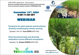
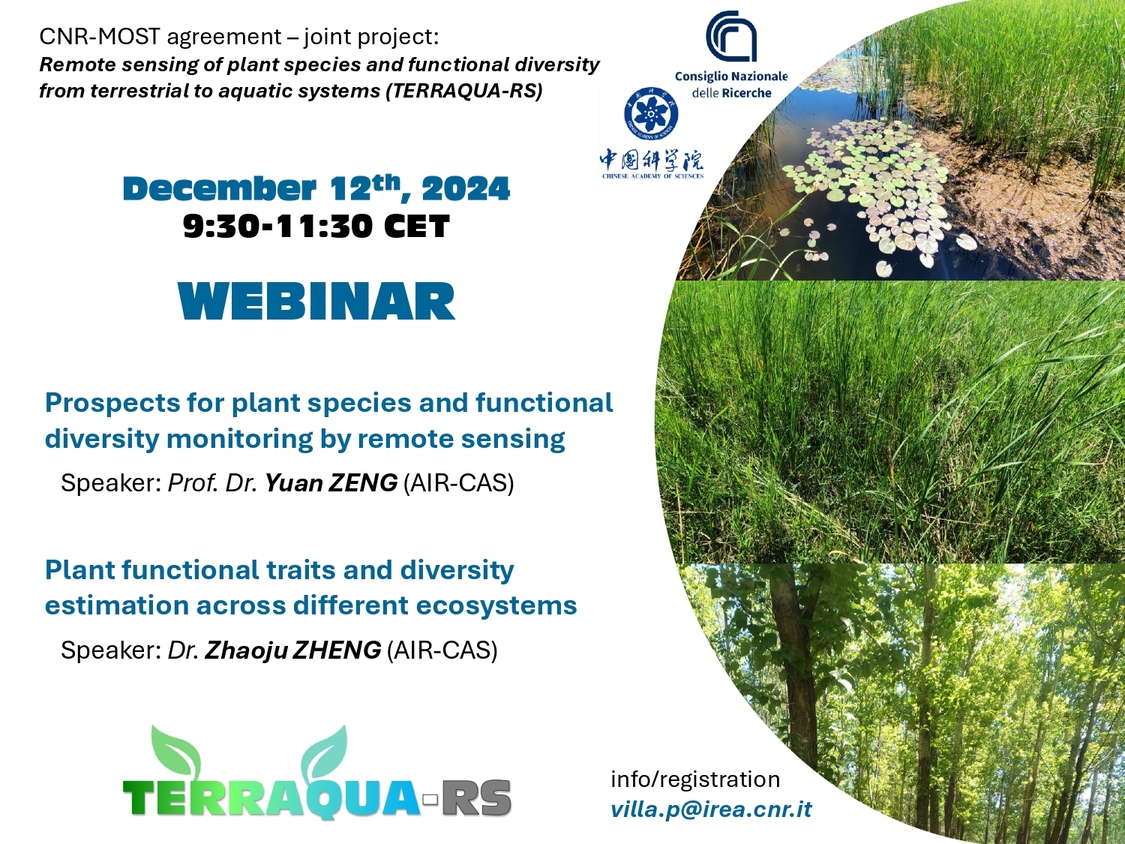 On Thursday 12 December, as part of the activities of TERRAQUA-RS, a bilateral project coordinated by IREA-CNR within the framework of the agreement on scientific cooperation between CNR and MOST (Ministry of Science and Technology, China), Prof. Yuan ZENG and Dr. Zhaoju ZHENG from the Ecosystem Remote Sensing Lab of the Aerospace Information Research Institute, Chinese Academy of Sciences (AIR-CAS) will hold a webinar on the potential and applications of remote sensing for characterising plant diversity.
Through the collection and processing of in situ and remotely sensed data, the “Remote sensing of plant species and functional diversity from terrestrial to aquatic systems” (TERRAQUA-RS) project aims to develop methods for estimating taxonomic and functional diversity from optical spectral data in highly heterogeneous plant communities, ranging from aquatic to terrestrial vegetation (grassland and forest).
The event will be held from 09:30 to 11:30 with live broadcasting at the Lorenzo Busetto multimedia room of IREA Milano (CNR Area Territoriale di Ricerca di Milano 1, Via A. Corti 12 - Milan) and in virtual mode on the Teams platform.
For further information and to register for the webinar, please contact Dr. Paolo VILLA ( This e-mail address is being protected from spambots. You need JavaScript enabled to view it ).
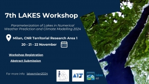
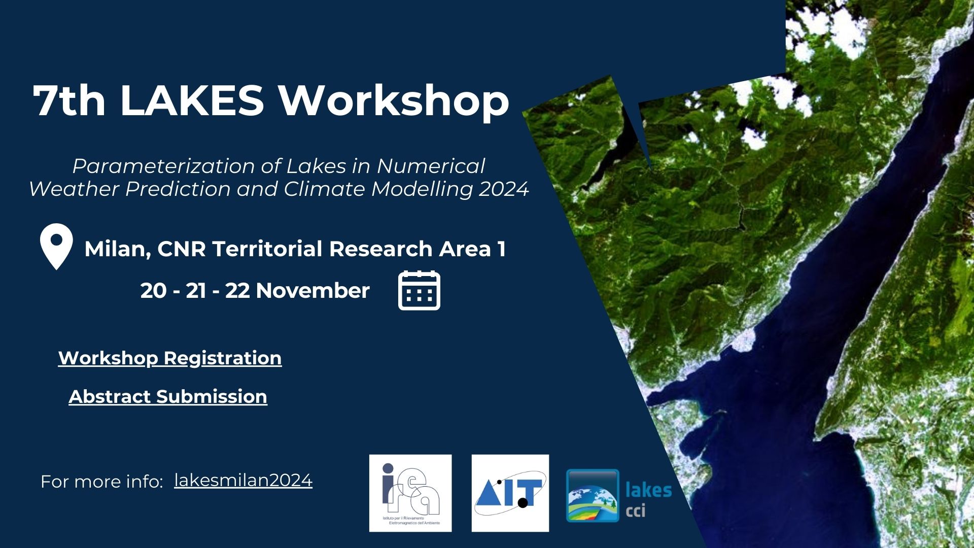 Registrations and abstract submissions for the 7th LAKES Workshop are officially OPEN!
The forthcoming Workshop on the Parameterization of Lakes in Numerical Weather Prediction and Climate Modelling is aimed at exploring the interactions between inland water bodies, such as lakes and reservoirs, and the atmosphere above, in order to improve the coupling between these two key components of the hydrological cycle.
The Workshop, organized over three days with plenary oral and poster sessions, aims to bring together scientists working on various aspects of the lake-atmosphere feedbacks and the interaction of lakes with regional and global climate.
The 7th edition of the Workshop will be held in Milan (Italy) from November 20 to 22, 2024.
The main focus is on the parameterization of lakes in numerical weather prediction (NWP) and climate models. The Workshop is also open to the participation of researchers from neighboring disciplines such as physical limnology, inland water remote sensing, atmospheric physics and hydrology.
The Milan LAKES 2024 Workshop will address the following topics:
• LAKES & ATMOSPHERIC MODELING: Lake-atmosphere interactions, processes in fresh-water bodies linked to atmospheric forcing, and coupling between lake and atmosphere models.
• MODEL VALIDATION & INTERCOMPARISON: Validation of atmospheric models that incorporate lake parameterization and lake data assimilation schemes, as well as validation of lake models one-way coupled to (forced by) the atmosphere.
• ANCILLARY DATA FOR MODELING LAKES: Use of external datasets available at local to global scale to assist the generation/quality of external-parameter fields required by lake parameterization schemes in atmospheric models, e.g. fields of lake depth and lake fraction.
• NEW FRONTIERS FOR DATA ASSIMILATION FROM REMOTE SENSING: Information on snow, ice, water temperature and water transparency on lakes, reservoirs, and other water bodies from remote sensing to study lake changes and their interaction with regional and global climate.
The Milan Workshop continues from the lake-parameterization workshop series that started in Zelenogorsk (Russia, 2008) and was followed by Workshops held in Norrköping (Sweden, 2010), Helsinki (Finland, 2012), Évora (Portugal, 2015), Berlin (Germany, 2017), and Toulouse (France, 2019).
Links to the forms and additional information on https://lakesmilan2024.irea.cnr.it/
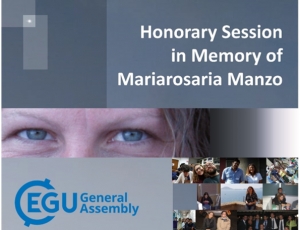
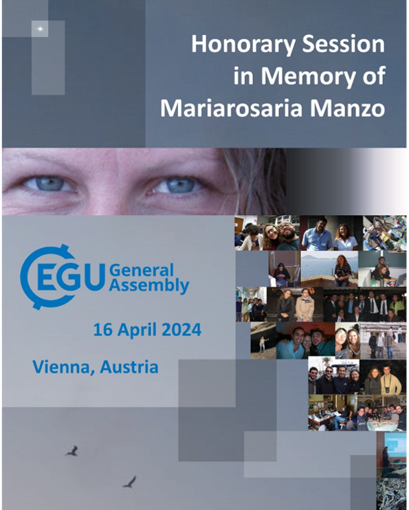 On Tuesday 16 April, as part of the EGU General Assembly 2024, an Honor Session will be held in memory of our colleague Mariarosaria Manzo, who passed away prematurely in 2022.
The proposed session is inspired by the themes that have characterized the 20-year research activity of Mariarosaria Manzo, which mainly focused on the exploitation of Synthetic Aperture Radar (SAR) data for the Earth surface deformation retrieval and investigation through the application of the original Differential SAR Interferometry (DInSAR) technique and the development of advanced DInSAR methods focused on generation of deformation time series, as for the Small BAseline Subset (SBAS) approach.
The session wants to remember the legacy that Mariarosaria left. Intelligence, competence, passion, courage, poise, firmness, gentleness, determination and sweetness have left an indelible mark on the people with whom she collaborated.
Download the brochure
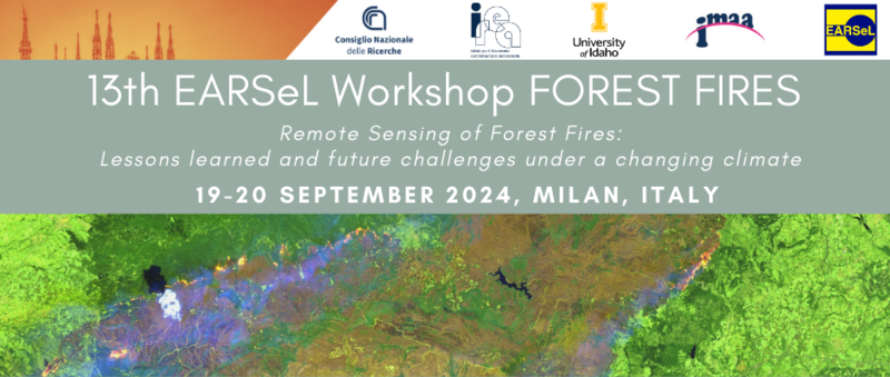 On 19-20 September 2024 it will be held in Milan the 13th EARSeL Forest Fire Workshop entitled “Remote Sensing of Forest Fires: Lessons learned and future challenges under a changing climate”.
The workshop has a long history and since the foundation of the Forest Fire Special Interest Group it gathers together scientists, experts, managers, local and international organizations involved in the use of Remote Sensing technologies for monitoring forest fires and their impacts on the biosphere in the framework of the climate crisis and expected climate changes.
The workshop is organized over two days with plenary oral and poster sessions. Abstracts will undergo revision by the scientific committee and accepted contributions from participants to the workshop will be published in a digital book of abstracts.
Abstract submission is open March 31, 2024 at this link
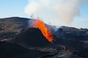
 An international team of researchers from the Institute for Electromagnetic Sensing of the Environment (CNR-IREA) in Naples and the Instituto Volcanológico de Canarias (INVOLCAN) in Tenerife (Spain) recently published an innovative study on the largest historical eruption ever recorded in La Palma, one of the Canary Islands, which occurred on September 19, 2021. The Tajogaite eruption aroused interest not only for its immediate impacts, but also for the significant amount of information obtained useful for scientific purposes.
The study, published in the prestigious journal Scientific Report, examined in detail the previous eight days and the first ten days of the eruption, revealing unknown elements of the dynamics and evolution of the island's volcanism.
“The prelude to the eruption lasted 8 days and was characterized by precursory signals that manifested themselves starting from 11 September 2021,” explains Luca D'Auria, Geophysicist and Director of the INVOLCAN Volcanic Surveillance Area. “The seismicity, with migration towards the west and towards the surface of the hypocentres”, continues D’Auria, “anticipated the onset of the imminent eruptive event”.
The permanent GPS-GNSS stations, active on the island western side, have also recorded, starting from 12 September, ground deformations of more than 15 cm, offering significant indications of the evolution of the underlying magmatic pressure. After the start of the eruption, ground deformations then reached their maximum peak on September 22nd, showing a tendency towards deflation in the following months. In particular, the observations showed that, on September 27th, the eruption suffered a pause of a few hours attributed to a temporary collapse of the surface feeding system along the active fracturing system.
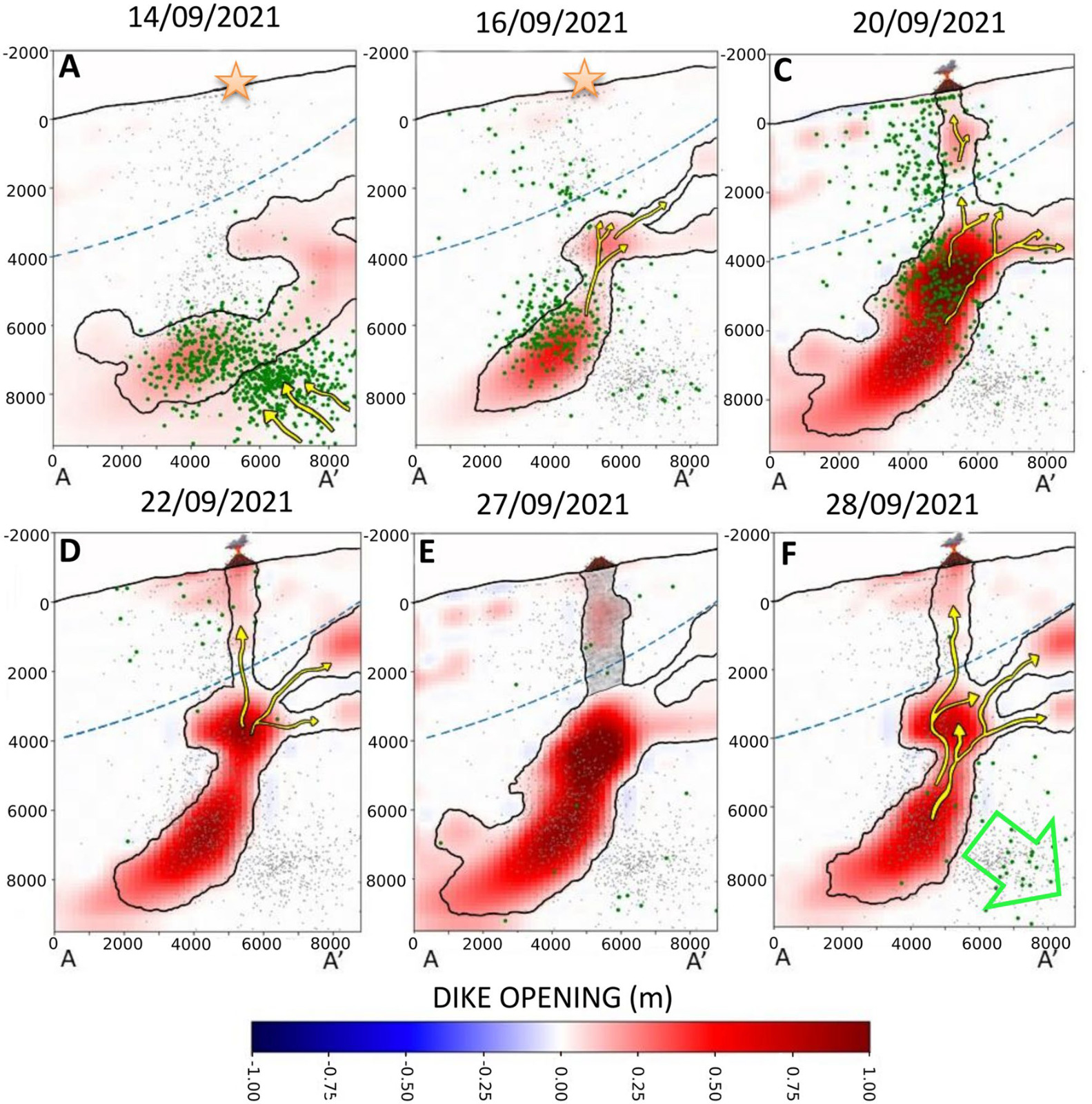
To fully understand the volcano dynamics, the research team used GPS-GNSS time series and satellite data from the European Sentinel-1 constellation, examining ascending and descending orbits. The resulting source geometry revealed a dyke, which is a sub-vertical, spatially articulated intrusive magmatic structure, bent towards the east. Specifically, the aforementioned power system conditioned the rise of magma along two main branches showing a close correlation with pre-eruptive seismicity, and was also influenced by the presence of a ductile and thermally anomalous layer beneath the volcano. In-depth analyzes also revealed early surface deformations attributed to the effects of ascending hydrothermal fluids.
These results underline the importance of advanced modeling for understanding pre-eruptive processes in complex basaltic volcanoes. “The geodetic analysis carried out” states the geophysicist Pietro Tizzani, senior researcher of CNR-IREA, “has demonstrated the great potential of this technique in the study of magma ascent processes”.
The researchers involved in the study concluded that these findings provide evidence of the complexity of fracturing propagation processes and temporal changes in a volcano's surface fuel system, opening new perspectives for understanding and mitigating risks related to future eruptions.
In the figure: Schematic model of the dynamics of the magmatic supply system (Volcano Plumbing System). The orange stars represent the position of the volcanic vent compared to the days preceding the eruption. The volcano symbols, instead, represent the actual position of the current volcanic vent. The yellow arrows represent the directions of magma rise, while the green arrow indicates the incipient collapse of the magma reservoir. The blue dashed lines represent the rheological boundary limit of the system under consideration.
Tag Cloud
Research activity in evidence
-
Interaction between electromagnetic fields and nanoparticles
According to an estimate of the World Health Organization, about…


